Smarter site data.
Better field results.
Civil 3D modelling, machine-control files, subdivision takeoffs, drawing reviews and construction survey support—prepared for the people delivering the work.
Technical support from drawing review through to field delivery.
Clear scopes, practical outputs and responsive support for contractors, estimators and survey teams.
Civil 3D Modelling
Buildable surfaces, alignments, corridors, grading and data prepared for construction.
View capability →Machine-Control Models
Practical site models and exports suited to common machine-control platforms.
View capability →Takeoffs & Estimating
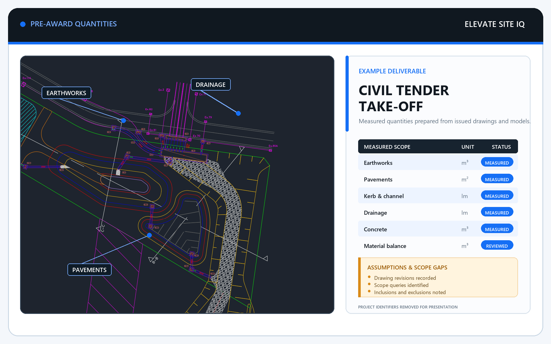
Subdivision quantities, cut-and-fill reviews and tender support from supplied drawings.
View capability →Survey Set-Out & Pickups
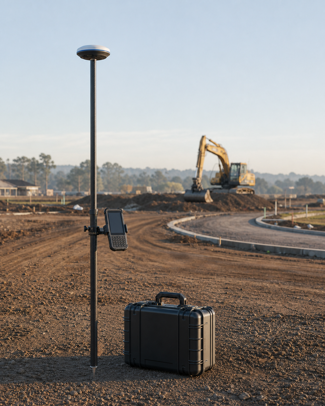
Melbourne construction support for residential and factory projects.
View capability →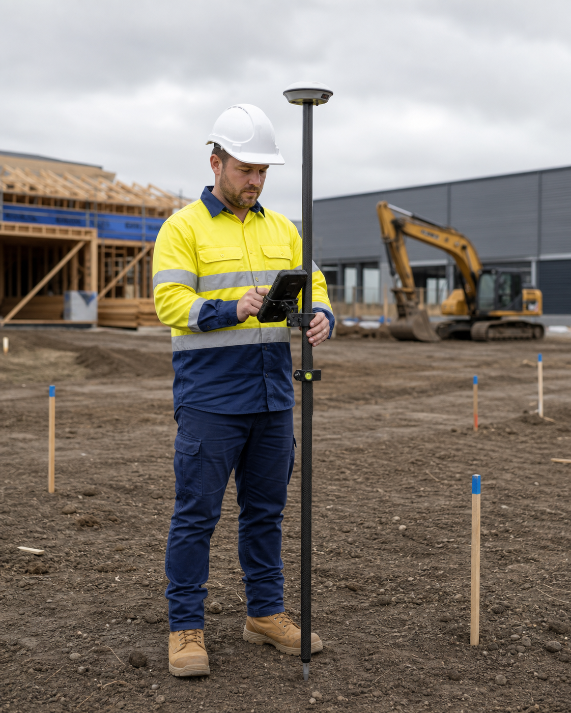
Resolve issues before they become site problems.
We help turn design information into dependable construction data, and can review drawings before they are issued to a surveying company.
- Pre-issue drawing and constructability reviews
- AutoCAD drafting and design support
- Survey-ready set-out information
- Machine-control and field deliverables
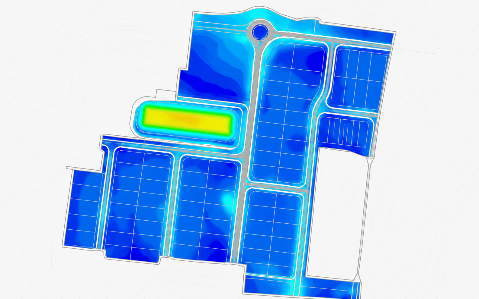
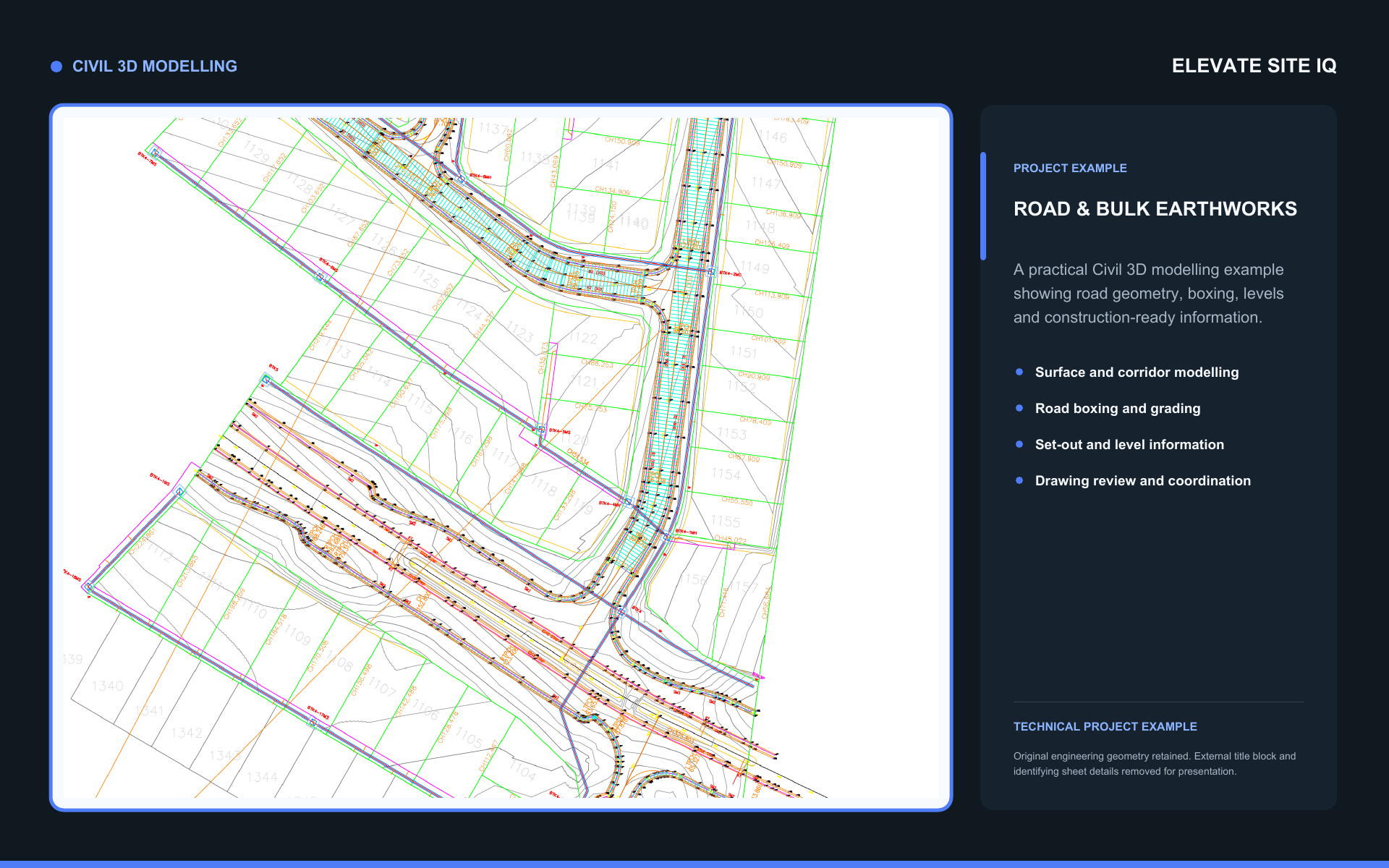
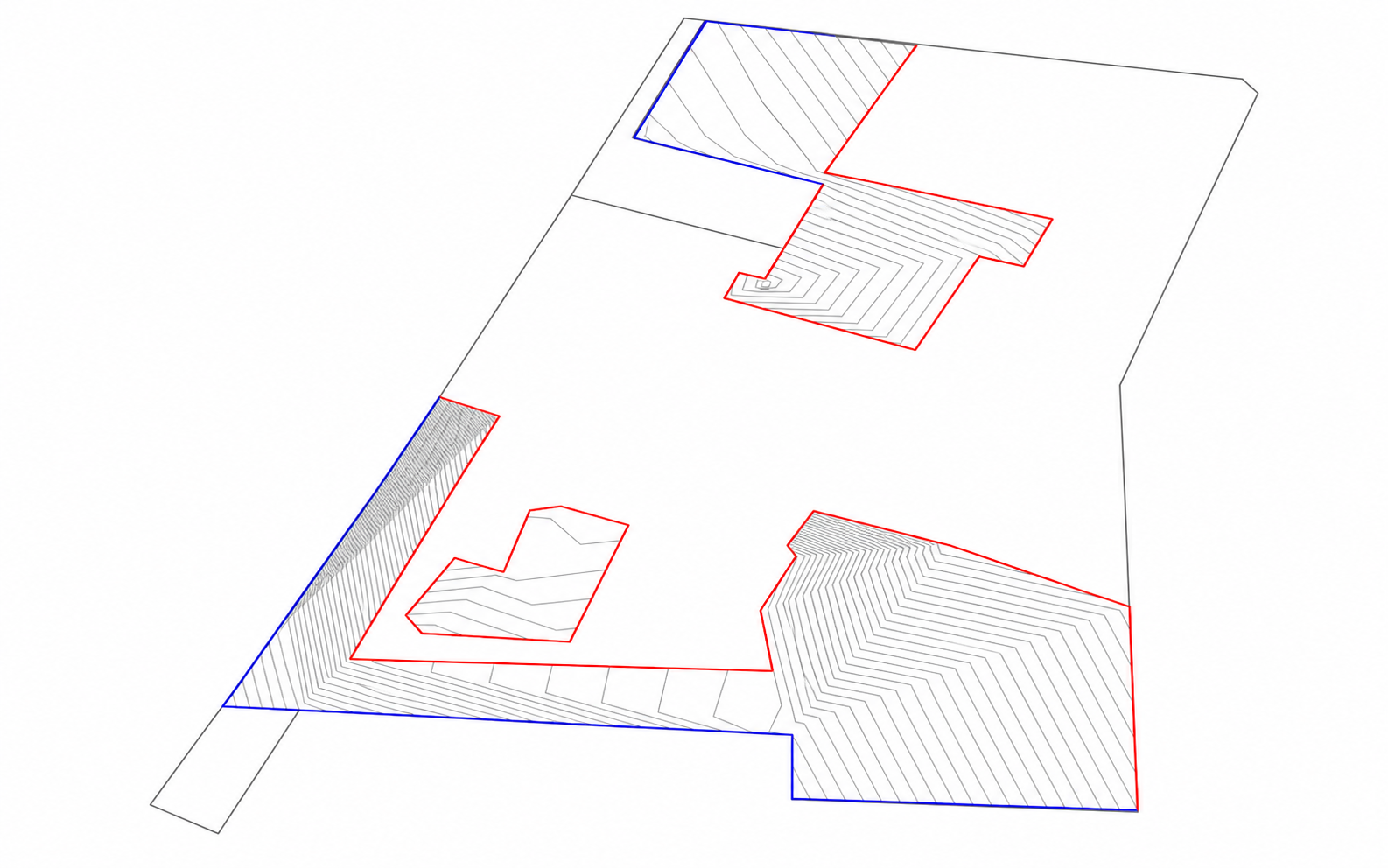
Real capability, presented with project details protected.
Examples have been anonymised to protect client, location and commercial information.

Director, Elevate Site IQ
Technical work shaped by how projects are actually delivered.
Elevate Site IQ is led by Sean Noble and built around clear communication, rigorous checking and usable outputs—not unnecessary complexity.
- Direct access to the person doing the technical work
- Practical understanding of civil and construction workflows
- Clear file delivery and responsive project support
Trusted technical support, backed by genuine project feedback.
Real client material is retained; placeholder testimonials and unsupported claims are not used.

Responsive support and practical outputs that keep work moving.

Technical information prepared with field use and coordination in mind.
Have drawings, a model or a site task to review?
Send through the project details and we will help define the right scope and deliverables.